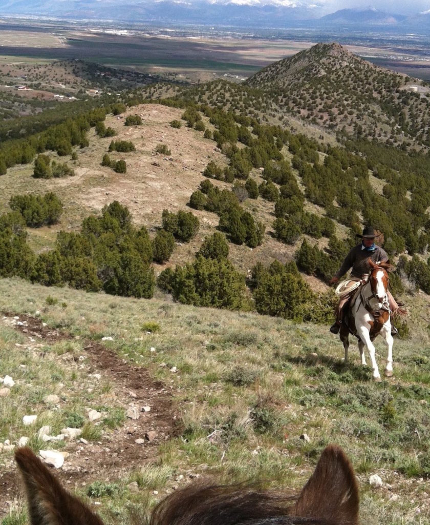
Of all the phone application options for trail and backcountry riders, the map app, Gaia GPS, has been the most referenced by horse riders I meet. They love it and use it religiously for their afternoon or weeklong adventures.
![]() Gaia (according to Greek mythology, Gaia is Earth personified as a goddess) is a map app with which you can track, log your route, and follow a waypoint, all without using cellular data. GAIA simply uses with the GPS chip in your phone.
Gaia (according to Greek mythology, Gaia is Earth personified as a goddess) is a map app with which you can track, log your route, and follow a waypoint, all without using cellular data. GAIA simply uses with the GPS chip in your phone.
Cellular data use is problematic on a few fronts:
— it’s expensive
— it’s often not available when you most need it, like when riding in the backcountry.
GAIA solves both issues, as long as you have “Location Services” in your settings enabled for the app.
There are just a few things that are essential to remember when using Gaia GPS:
- Be prepared and download those maps of country where you’ll traveling in advance and when you have a wifi connection.
- At the very least, get comfortable reading topographic maps and traveling by compass direction. When traveling in the backcountry, no app will save you. But having some basic Boy Scout skills will.
- At the very least, spend time with GAIA to familiarize yourself with its many excellent features. This is not like using texting or the camera. It may take some exploring and experimenting to fully use and take advantage of it.
Check out these helpful features on using Gaia GPS from Bikepacking and an Adventure blog.
Here’s a feature on map reading with a tutorial on how to read a topographical map.
The Gaia Pro version offers new elements of customization and functionality. If you’d like to try it, Gaia GPS is offering our readers a FREE one-year subscription of GAIA PRO. To learn more, email [email protected] and mention NickerNews or ColoradoOutsider.
Happy Trails!